If the Old Town is medieval Edinburgh piled up a hillside, the New Town is the deliberate opposite: a flat, rational Georgian grid laid out from 1767, all wide streets, garden squares and unified stone facades. James Craig was 26 when he won the January 1766 competition to design it, and his plan of three parallel streets, Queen Street, George Street and Princes Street, connected by St Andrew Square and Charlotte Square, is still exactly the city you walk through today. It's been a UNESCO World Heritage Site alongside the Old Town since 1995.
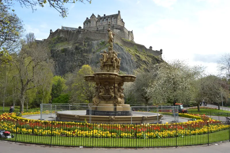
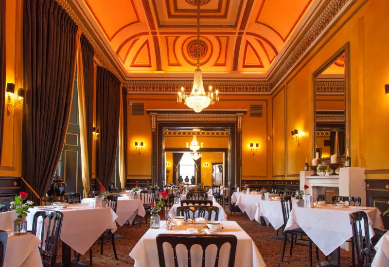
The one thing worth knowing before you arrive: Princes Street and George Street are not the same experience, whatever the map suggests. Princes Street gets the postcard view of the Castle across the gardens, but the street itself is mostly chain stores and fast food these days. George Street, one block north and originally planned as the grander of the two, is where the converted Georgian bank buildings now house the bars, restaurants and independent shops I'd actually recommend. I'd walk Princes Street for the view and spend the rest of my time on George Street and around St Andrew Square.
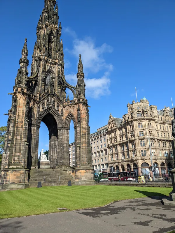
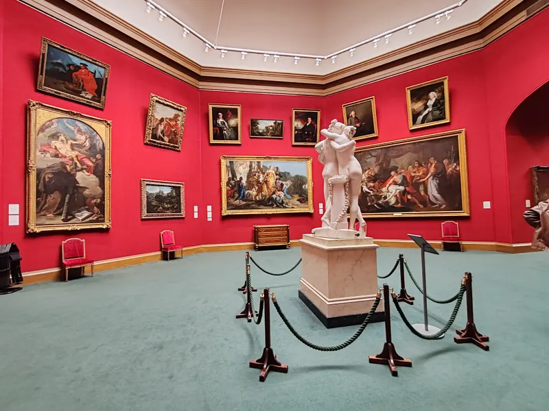
The honest shape of a New Town day is a loop rather than a straight line: start at Princes Street Gardens for the orientation, the Scott Monument and the National Gallery, work up through George Street and its side streets (Rose Street, Thistle Street) for shopping and lunch, detour to the galleries on Dundas Street, then loop back through Queen Street, the West End and St Andrew Square for the shopping, the Portrait Gallery, and the evening's bars and dinner. Here are the stops I'd build it around, grouped by patch of the grid rather than as a flat list, roughly in the order I'd walk them.